Website | The Watercolour World
Danny Birchall explores life before photography on this compelling site
We live in a world saturated with photography: Google Earth, Street View, even geotagged selfies. Search for a location on an online map and you will soon be looking at an image of that place, if not an immersive panorama. It’s a hyper-contemporary phenomenon: we see things exactly as they are right now.
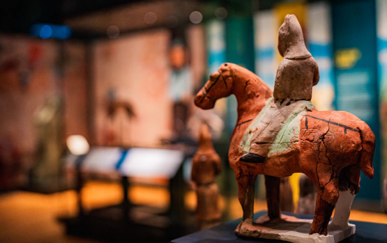
But there has never been such a systematic historical view, and the Watercolour World is a first step in that direction. It shows us the world before photography, through watercolour, with a searchable database of digitised paintings from public, private and personal collections. Using an intuitive interface you can search by keyword or browse a map to find watercolours documenting everything from mountain ranges to church brasses.
The site’s founder, Fred Hohler (who set up Art UK, which aggregates oil paintings in public collections), suggests the resource is of as much use to climate scientists in documenting lost landscapes as it is to conservationists reconstructing the past.
It’s a tenuous claim on the basis of what’s currently available, but the site’s scope is global. A glance at the map shows paintings scattered across all seven continents. Unsurprisingly, the greatest concentrations are in western metropolises and, beyond that, they have the flavour of colonial documentation.
The Watercolour World is also digitising new works. If you own watercolours and wish to include them, a team will visit you with portable digitisation technology and digitise the paintings in situ to add to the database.
By bringing so many works together, the Watercolour World is also a reminder that individual digitised museum collections are starting to feel less interesting by themselves. It’s clear, too, that a compelling interface makes all the difference when it comes to engagement.
Danny Birchall is the digital manager at the Wellcome Collection, London
Website | Britain on Film
The British Film Institute’s (BFI) Britain on Film is a map-driven moving image history of the UK. In its latest phase, the project invites the public to pinpoint the locations of archival documentary films going back to the early 1900s at the level of individual scenes.
It doesn’t take long to set up an account, pick a film, clip your scene and drop a pin on a map. Once another user has verified it, the location gets added to the database and is visible to other users.
But it works and it’s good, so you should give it a go.
Website | Brazil museum rises from the ashes
Digital technology is often called on to recreate or simulate lost archaeological treasures, such as the Arch of Triumph in Palmyra, Syria, which was reconstructed in Trafalgar Square a few years ago using digital records of the now-destroyed original.
Thankfully, this rarely extends to an entire museum. But Google Arts and Culture recently resurrected Brazil’s Museu Nacional, which was gutted by a fire last September. A project that began in 2016 to digitise the collections and galleries has unexpectedly gifted a digital afterlife to the museum.
It launched at the beginning of this year and contains the usual elements of a Google cultural heritage presence: an online exhibition, a guided tour and navigable indoor panoramas.
The Museu Nacional will be restored and will return. Its director, Alexander Kellner, says the loss of collections does not affect the museum’s ability to generate knowledge. In the meantime, we have such a familiar online representation of a museum that you’d be forgiven for forgetting the original wasn’t there any more.